Comparing Rotary and Fixed Wing UAVs for Modeling Sparse Aquatic Reed Beds Using Digital Elevation Models
this research study can be found here
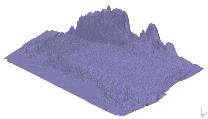
Digital Elevation Models (DEMs) provide essential information for identifying and quantifying vegetation stands. This study modeled sparse aquatic reed beds using aerial images collected from Rotary Wing (RW) and Fixed Wing (FW) Unmanned Aerial Vehicles (UAVs) with the same imaging system. Image processing was performed in a Structure from Motion (SfM) environment based on bundle adjustment. The DEMs were referenced to Ground Control Points (GCPs) and validated with independent Reference Points (RPs) of height from reed and flat surfaces.
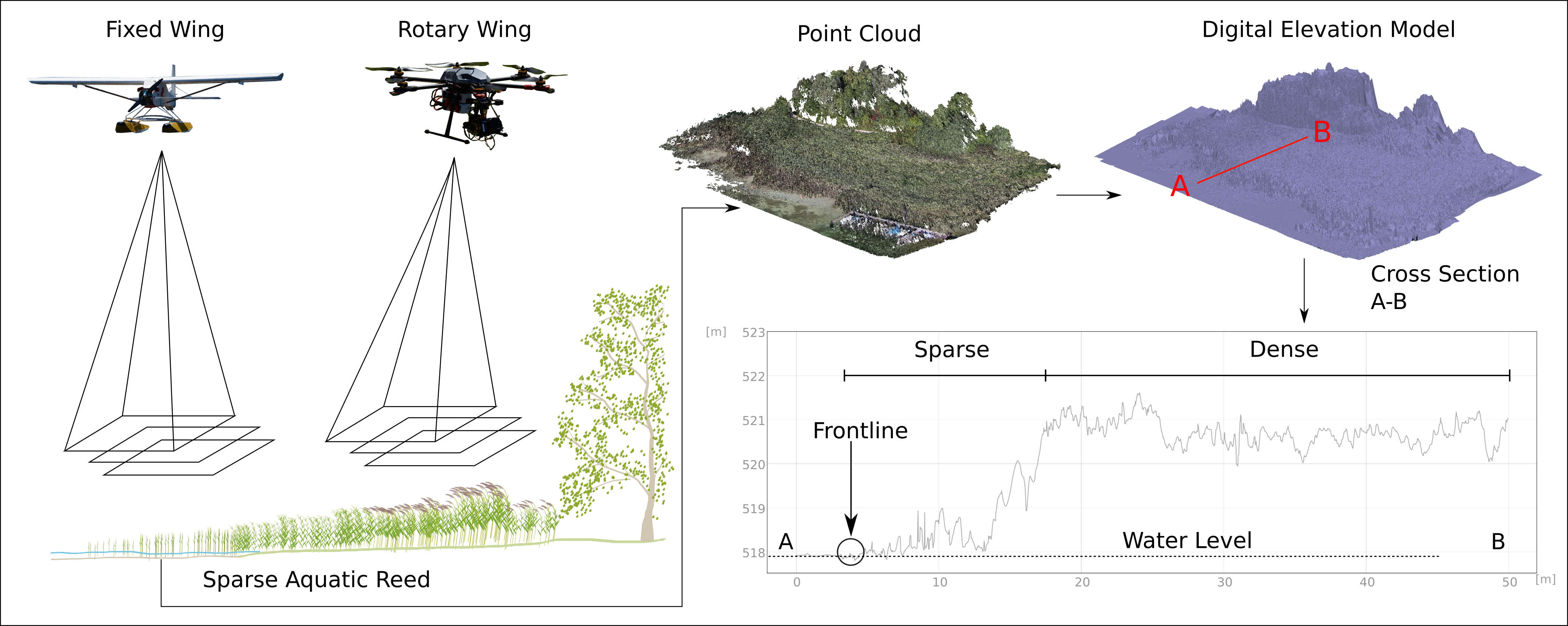 Methodology implemented for modelling vegetation heights
Root Mean Squared (RMS) reprojection error indicated that imagery from the FW UAV could be better aligned than that from the RW dataset. Quality assessment demonstrated that RW UAVs capture sharper data with less image blur, resulting in slightly more accurate DEMs, while FW UAVs provided better area coverage. The results from both configurations confirmed the efficiency of the methodology in deriving diagnostically relevant features for monitoring sparse aquatic reed beds.
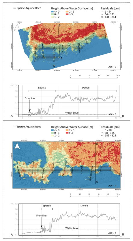 Spatial distribution of residuals in DEMs. Example of two cross sections obtained from DEM derived from RW (top) and FW (bottom) imagery. The “Y” axis represents the absolute height in meters