High-Precision Georeferencing of LiDAR Point Clouds for Aquatic Reed Bed Modeling Using Ground Truth Data
Data collected in the field is essential for training algorithms used in data processing and for validating final products derived from analyzing remote sensing information. In this project, the coordinates of various objects (e.g., reeds, water surfaces, docks, and shorelines) were required to model aquatic reed beds using Light Detection and Ranging (LiDAR) and close-range aerial photogrammetry with unmanned aerial systems.
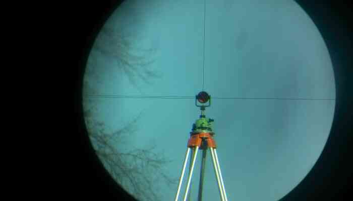
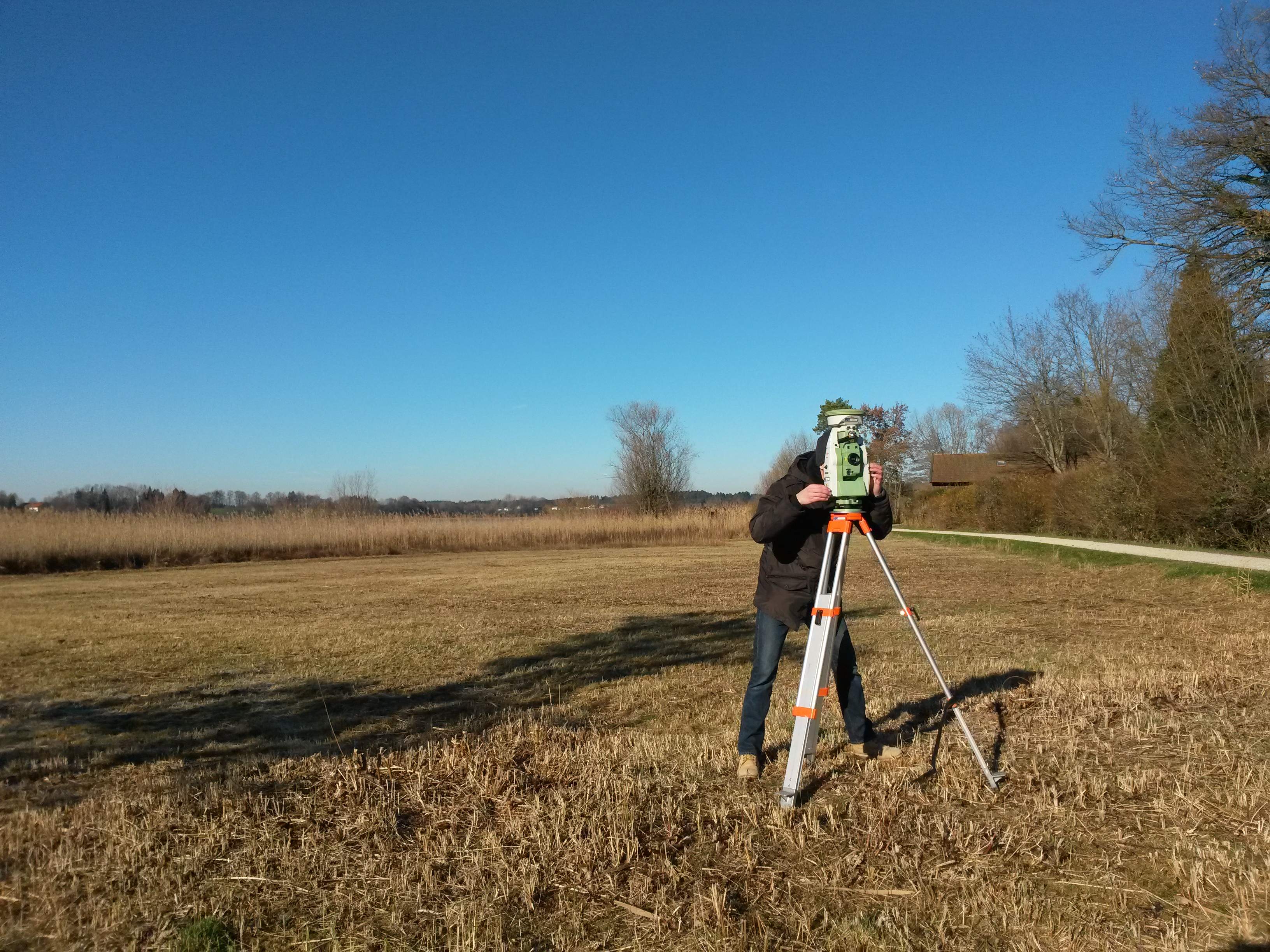 Total Station
The coordinates of an unknown point relative to a known coordinate can be determined using a total station, provided a direct line of sight exists between the two points. Angles and distances are measured from the total station to the points under survey. Subsequently, the coordinates (X, Y, and Z, or easting, northing, and elevation) of the surveyed points relative to the total station’s position are calculated using trigonometry and triangulation. To determine an absolute location, a total station requires line-of-sight observations and can be set up over a known point or by establishing line-of-sight connections to two or more points with known locations, a process known as free stationing.
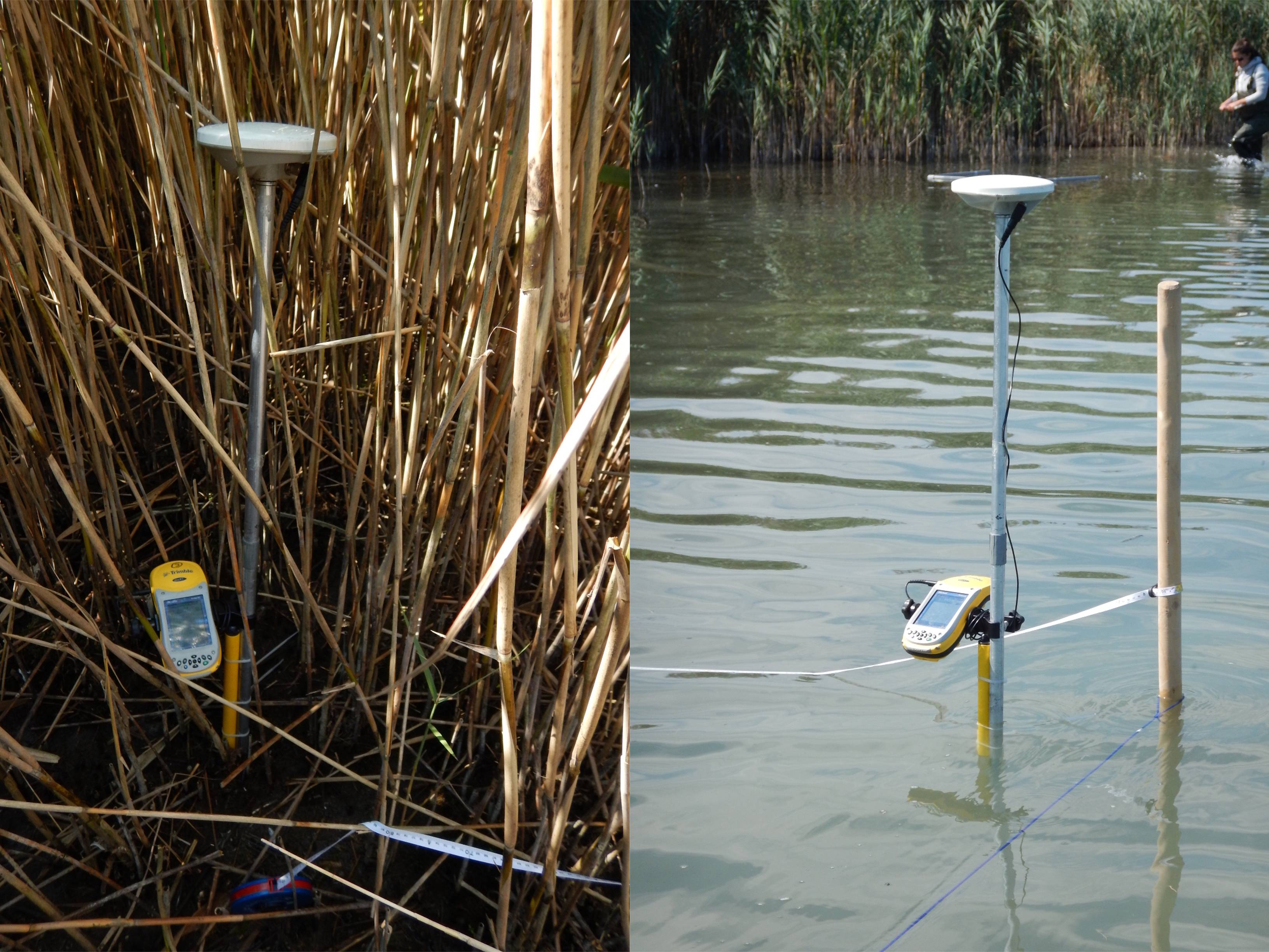 Differential GPS on duty