Exploring the Depths: Hydrographic Survey of the Baltic Seabed
Hydrographic survey is the science of measuring and describing features that influence maritime navigation, marine construction, dredging, offshore oil exploration, and related activities. This field places strong emphasis on soundings, shorelines, tides, currents, seabeds, and submerged obstructions, all of which are integral to these operations. The term “hydrography” is also used to describe maritime cartography, where the raw data collected during hydrographic surveys is transformed into actionable information for end users.
 Sonar Setup
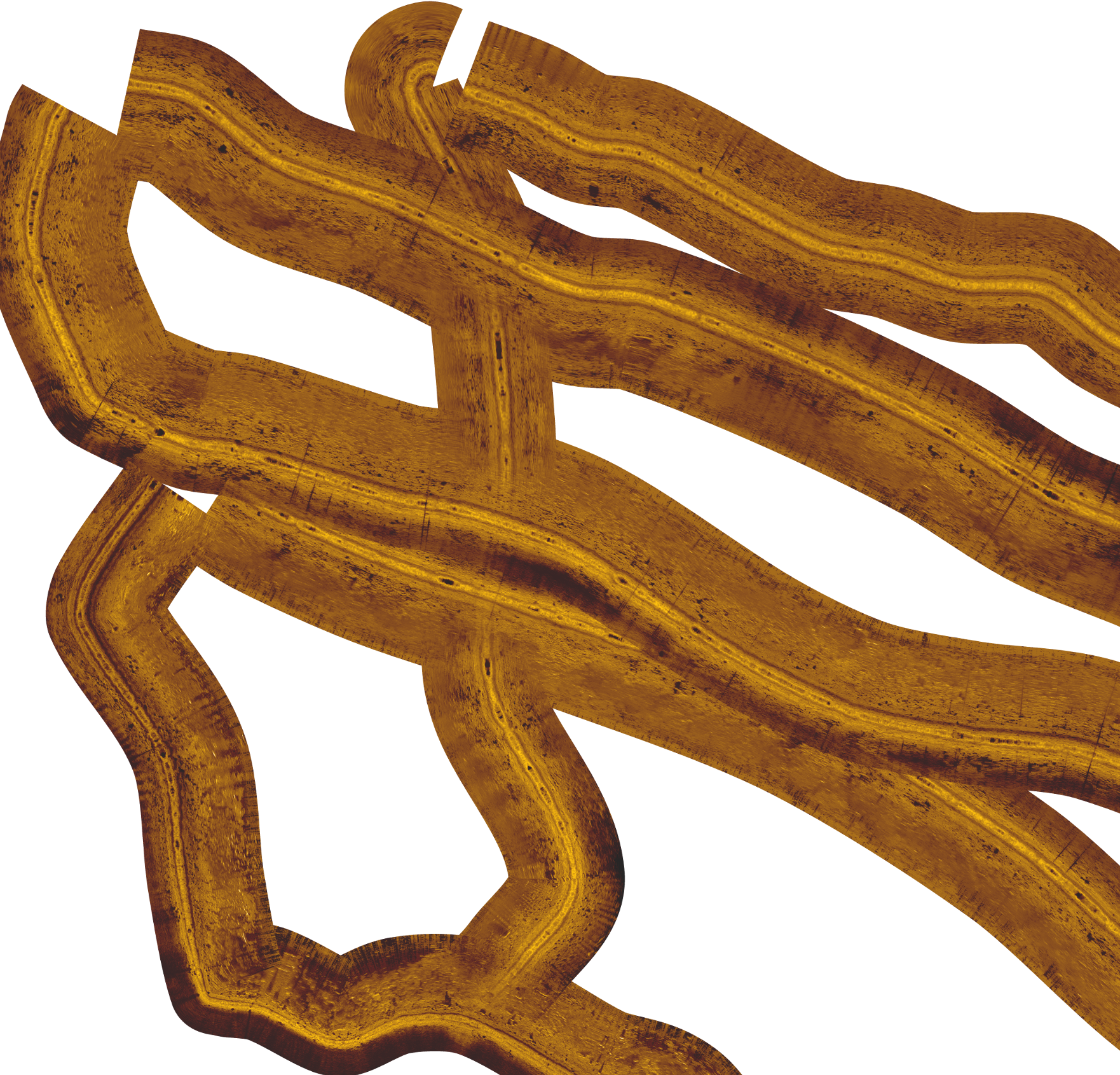
In this project, specific areas of the Baltic seabed were surveyed using a sidescan and downscan sonar system. The survey covered approximately 1,368 hectares, providing valuable data on the seabed’s characteristics and features.
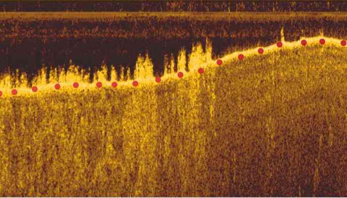
Echogram showing points (red) where depth was measured
 Mosaic obtained from the sidescan sensor. The different structures of the seabed (sandy and rocky) can be clearly observed
