Bathymetric Mapping Using Green-LiDAR: Correcting Light Propagation with Refractive Index Calculations
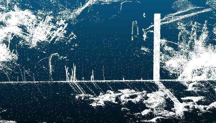
Water depth can be measured using either airborne or terrestrial LiDAR (Light Detection and Ranging) with a wavelength of 532 nanometers (green). Green light is not absorbed by the water medium and, therefore, can be used to map the bathymetry of lakes. Since light propagates differently in water than in air, the points beneath the water surface appear shifted and must be corrected.
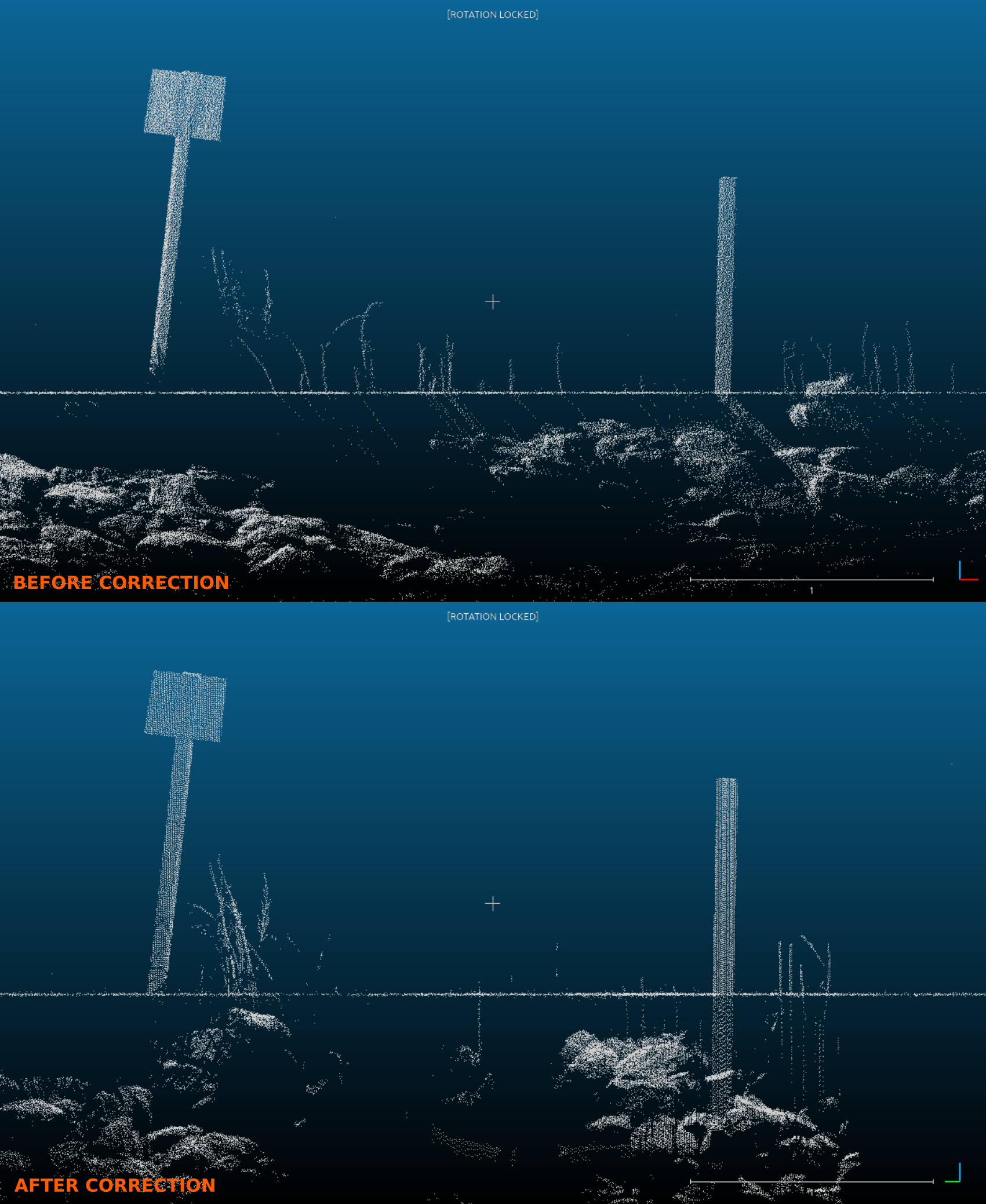 LiDAR point clouds before and after performing light refraction correction
This correction is calculated using the refractive index, coordinates of the laser origin, incidence angle, and the water level specification. First, to calculate the refractive index, the sine of the angle of incidence is divided by the sine of the angle of refraction. The refractive index varies based on the properties of the transmission media (e.g., temperature, pH) and the wavelength of the incoming radiation. For variable temperature and salinity conditions, and a green laser (532 nm wavelength), the refractive index is n=1.33538n=1.33538. Second, the coordinates of the laser origin and the incidence angle are derived from information recorded by a mounted DGPS. Third, the Air–Water Interface (AWI) corresponds to the height of the water surface.
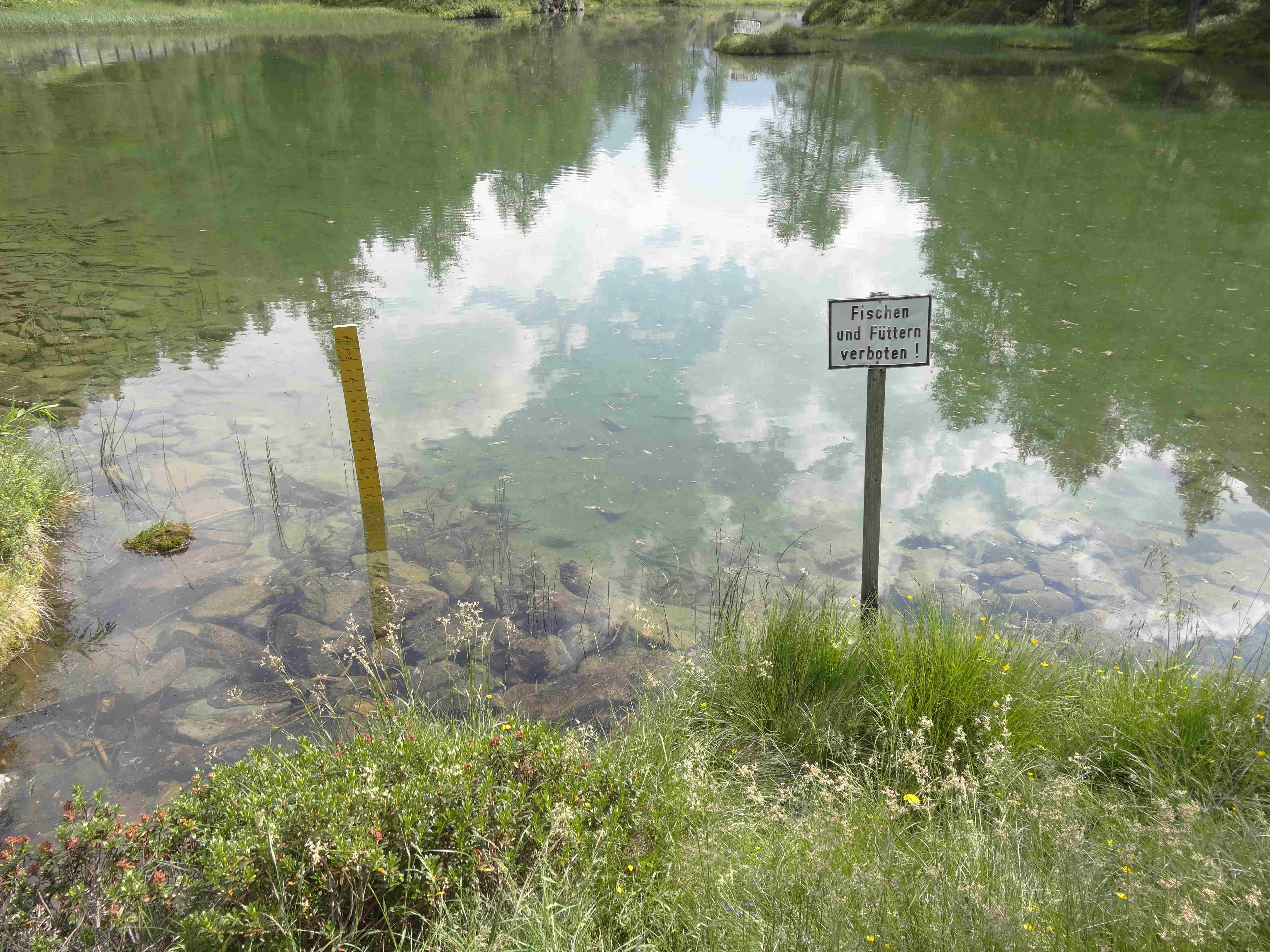 Study Area
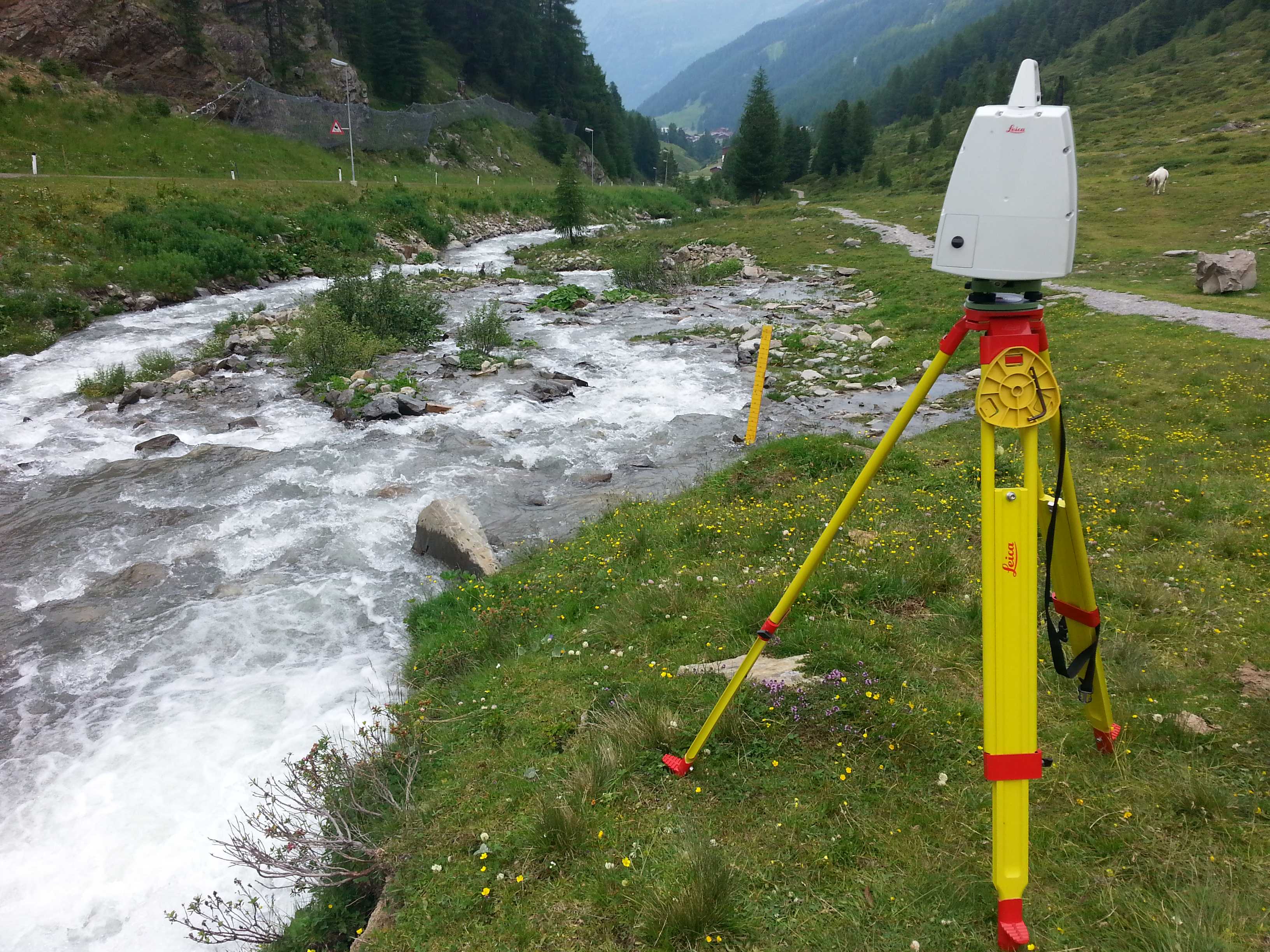 Terrestrial Laser Scanner (wavelength 532nm)