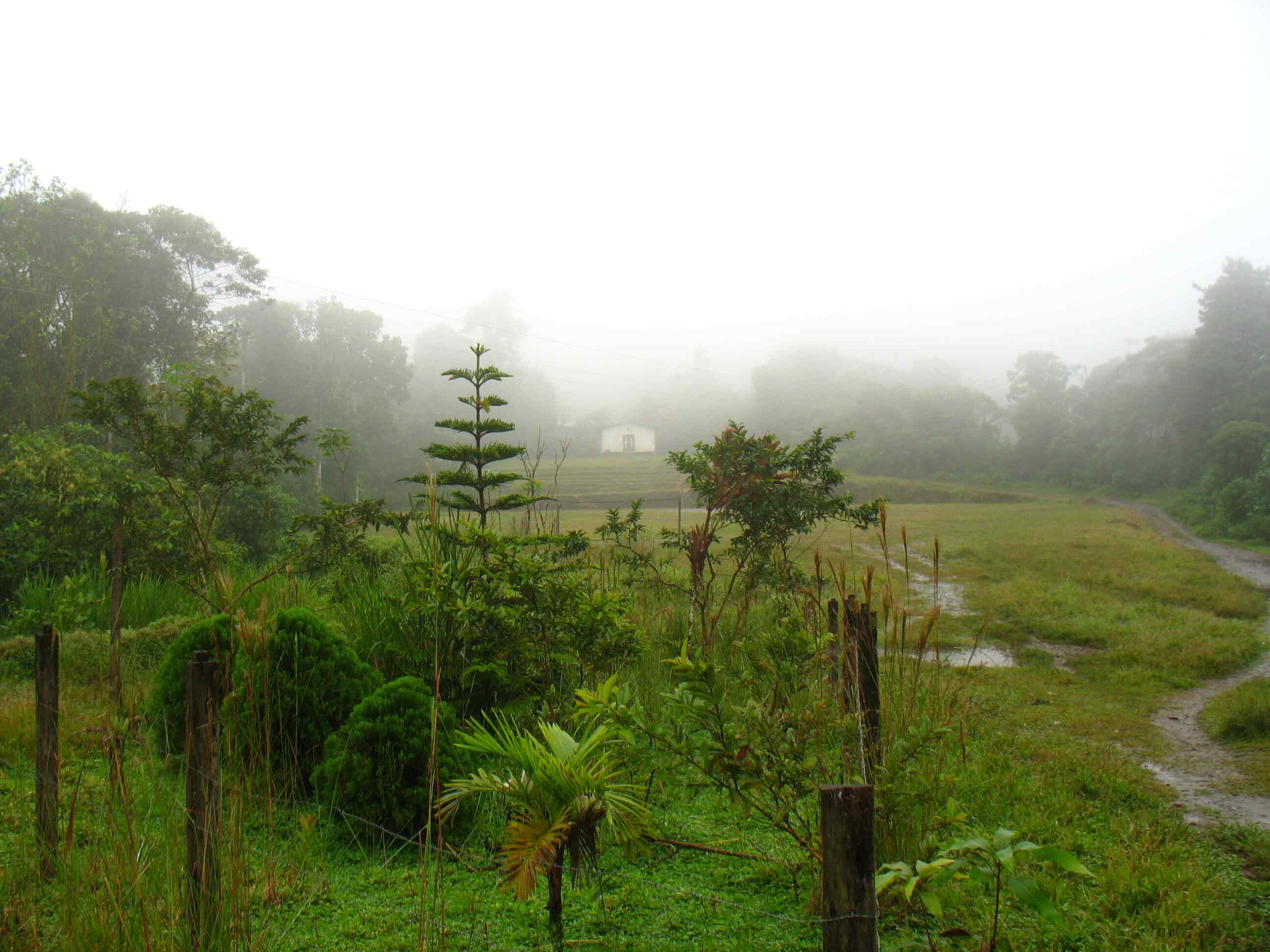
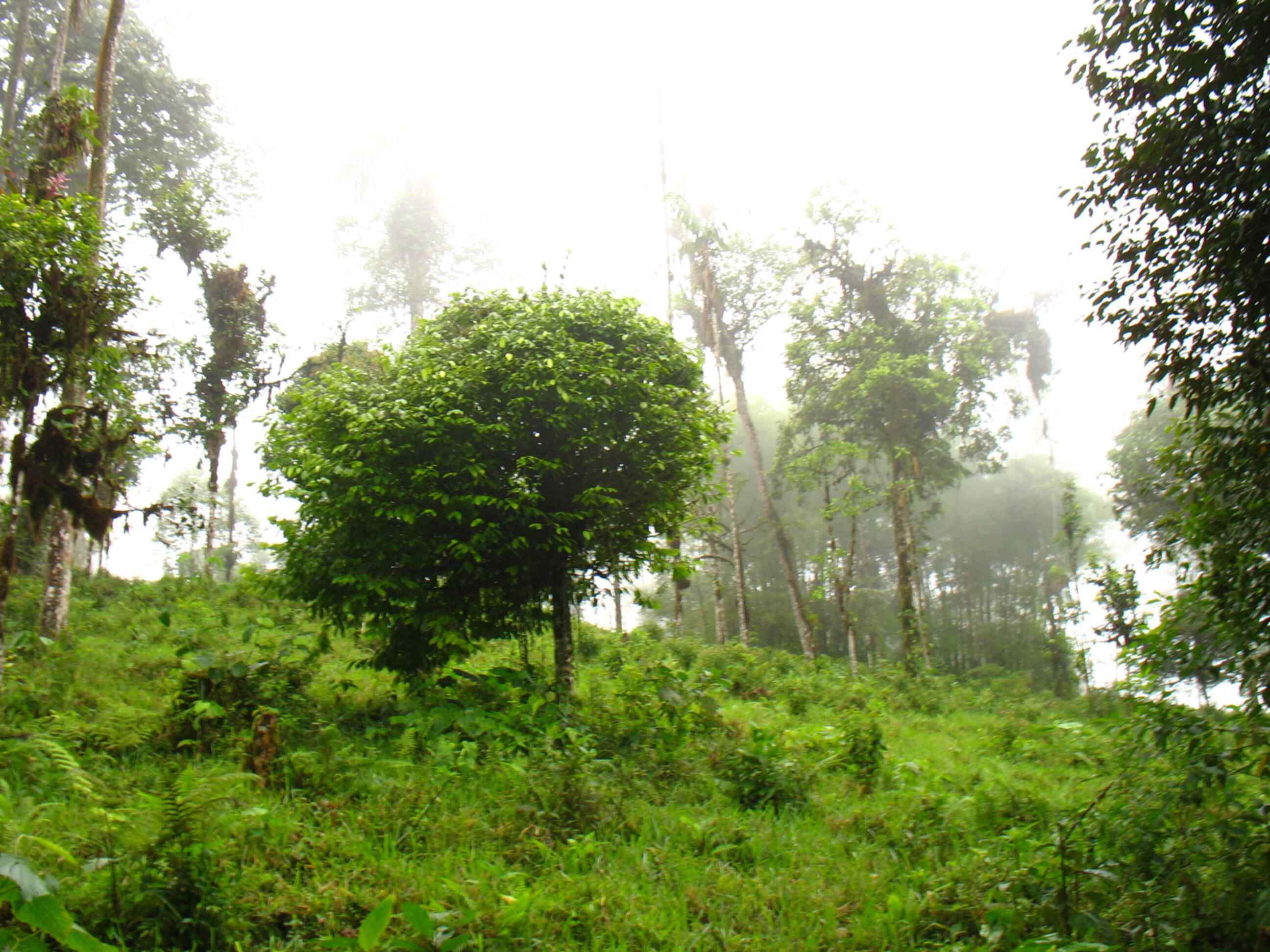
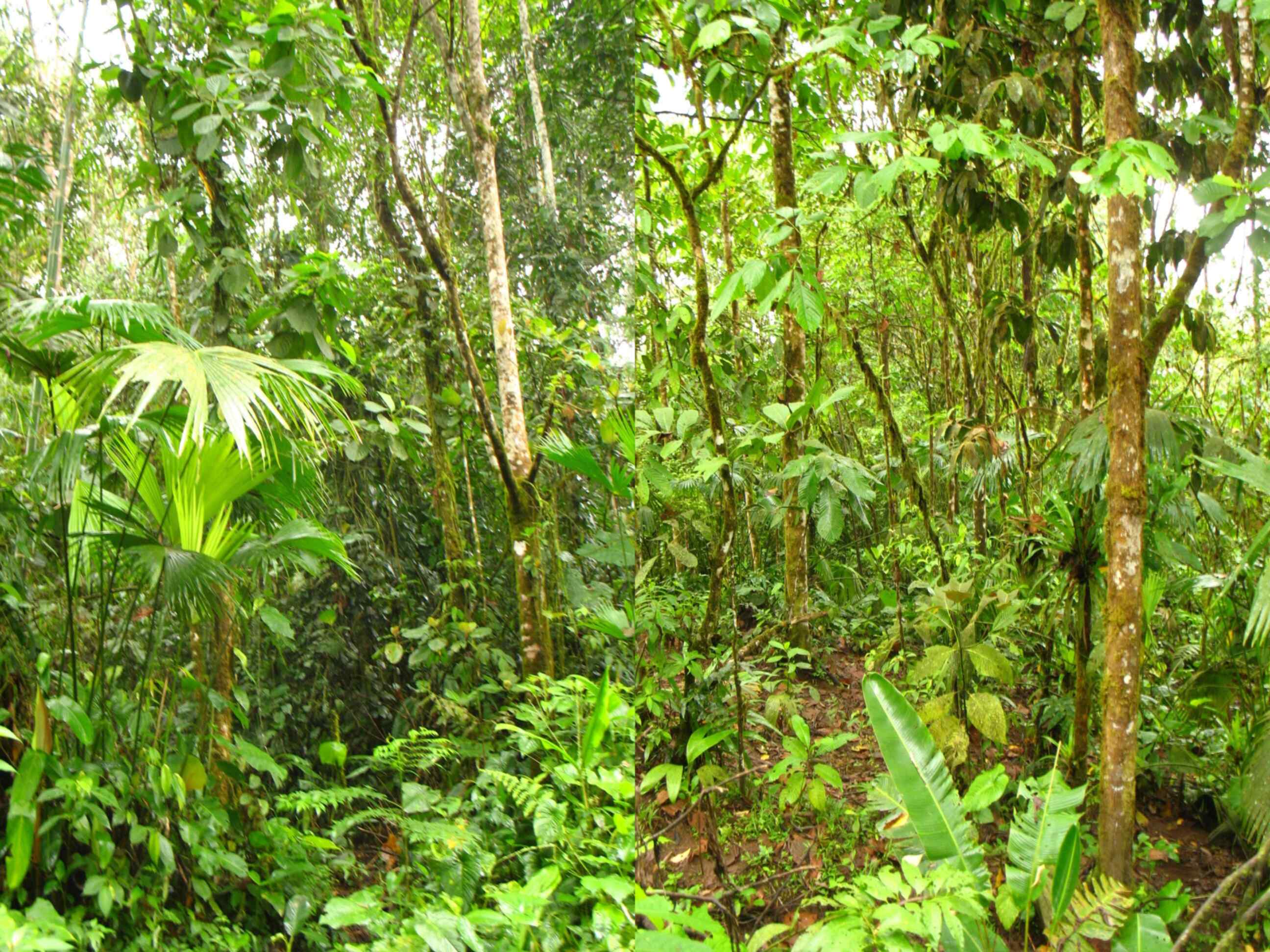
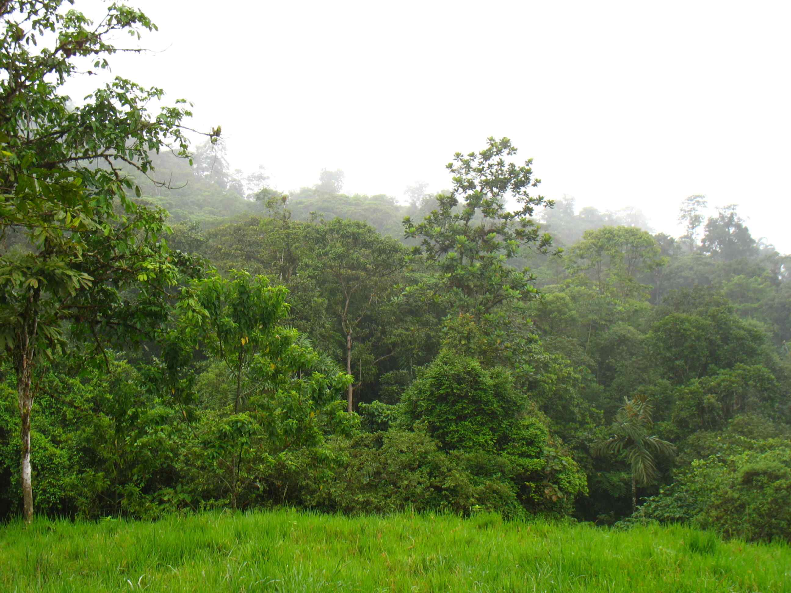
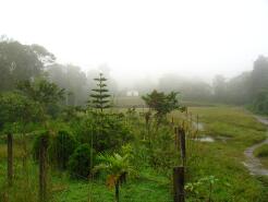
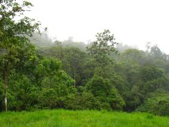
In the surroundings of the community of Nuevo Mundo in the province of Pichincha (Ecuador) there is still tropical evergreen forest reaching 20-35m in height. Epiphytes are abundant and there are large numbers and varieties of orchids, bromeliads, mosses, and ferns. Commonly occuring land use changes threaten this ecosystem and analog forestry could be a solution to provides resources for the community and protecting the forest.


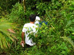

The objective of this project was to map the areas where analog forestry was carried out. The information was collected in situ and with the contribution of the Nuevo Mundo community. The plots with analogous forestry and the current land use of the surrounding areas were mapped with the use of global positioning systems (GPS). The georeferenced data were imported into a GIS and together with secondary information provided by the Instituto Geográfico Militar (IGM) the cartography was carried out. Areas of interest were calculated and land use mapped by categories.