Hi, i'm Nicolas Corti and this is a compilation of my work. Click on the images to discover more about the projects I have worked in or if you want to know more about me just click here
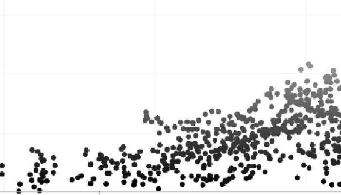
LiDAR
Vegetation mapping with LiDAR data
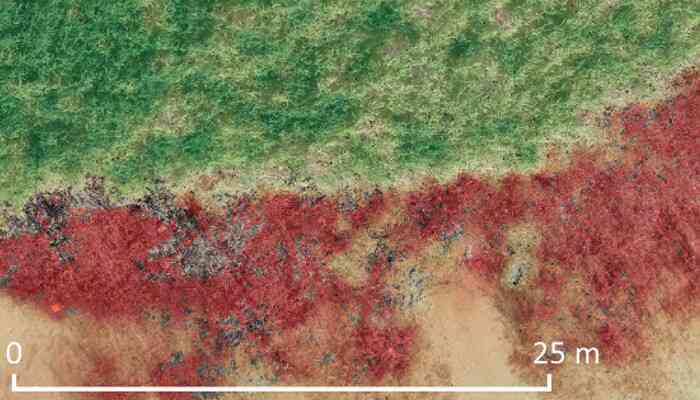
Vegetation Status
Classification of UAV point clouds
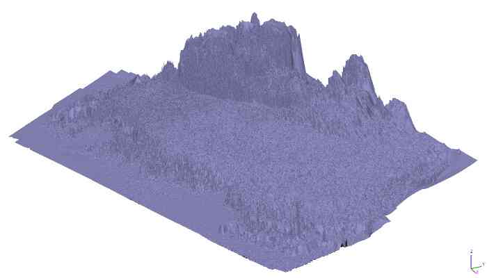
DEM
Digital Elevation Modelling
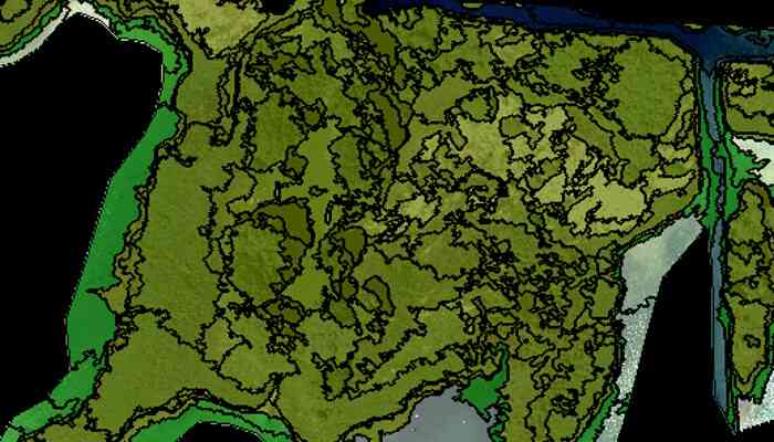
OBIA
Object Based Image Analysis

Quadcopter
Close-range aerial photogrammetry
Ground-Truth Data
Validation and reference data for remote sensing purposes
Hydrographic Survey
Depth measurement of the Baltic seabed
Refraction Correction
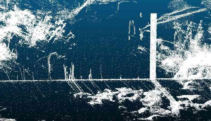
Terrestrial laser scanning of water bodies
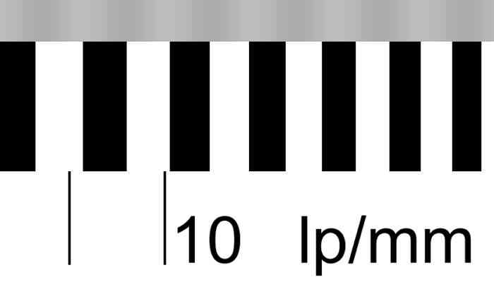
Modulation Transfer Function
Testing image sharpness for photogrammetric purposes
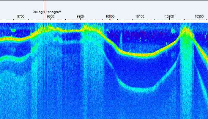
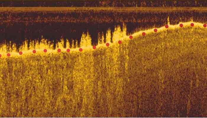
Hydroacoustic Mapping
Mapping depth and height of aquatic plants
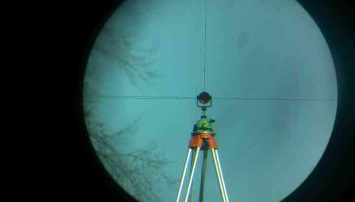
Topographic Surveying
Topographic survey for the registration of land ownership
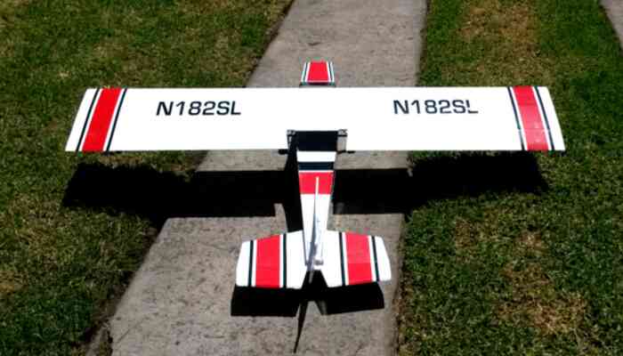
Aeromodelling
Low budget construction of a Cessna for mapping purposes
Atmospheric Corrections
An important step in the analysis of remotely sensed imagery
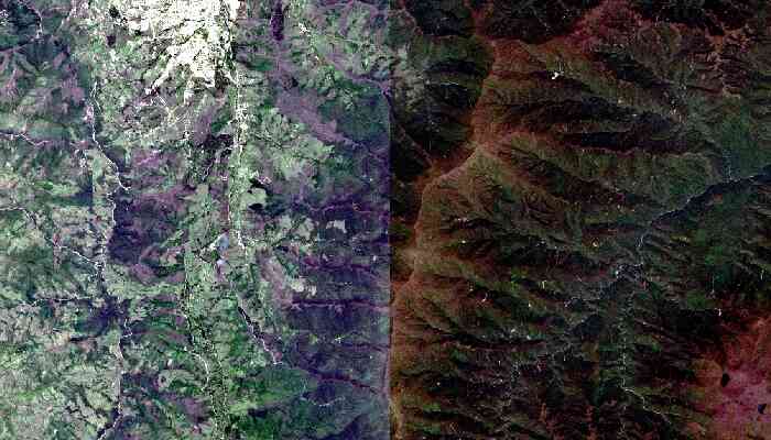
Forest Fires
Remote sensing of forest fires using satellite imagery
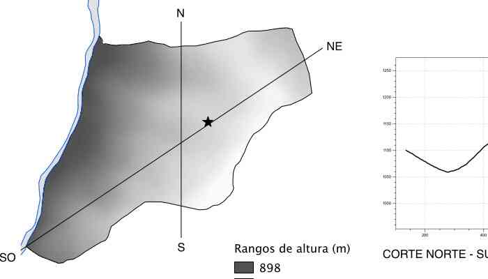
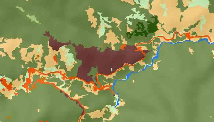
Watershed Management
Assessment of freshwater springs and intakes
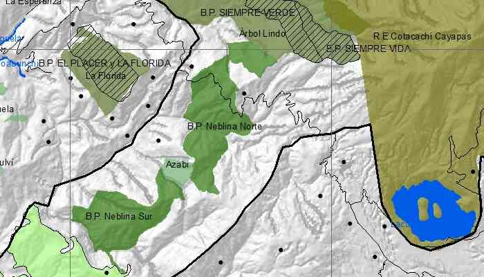
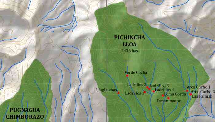
Biological Corridor
Connecting two protect areas in the ecuadorian andean cloud forest
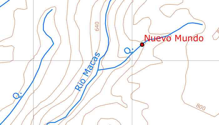
Analog Forestry
Mapping analog forestry plots in the community Nuevo Mundo
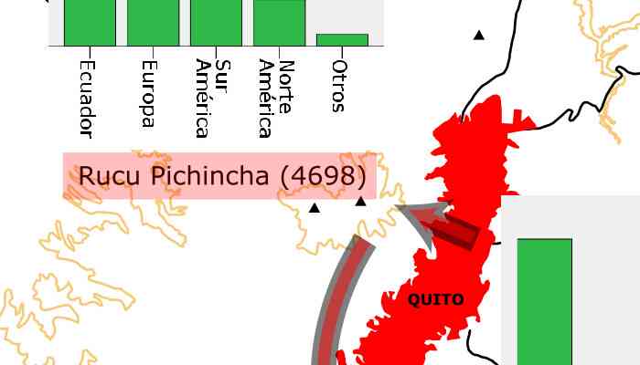
Mountaineering Tourism
A diagnostic of moutaineering tourism in Ecuador