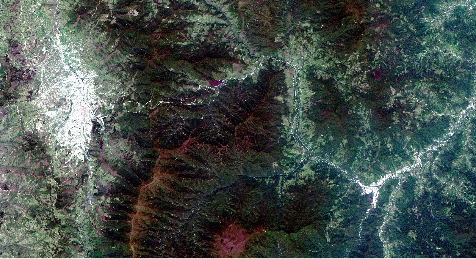
Atmospheric correction is often considered as the most important part of pre-processing in the analysis of remotely sensed data. Atmospheric effects or physical limitations are some factors that commonly degrade the energy captured by the sensor. With the purpose of extracting more accurate reflectance from the objects on the ground, atmospheric correction reduces or eliminates the atmospheric distortions that are added to the pure signal of an object. However, several are the reasons for executing atmospheric corrections and it is not always required. For instance, such a correction is often necessary when comparing multi-temporal images (change detection), when scene matching (mosaics) or when vegetation indexes will be used. In cases where the calculation of ground reflectance or the comparison of satellite radiance to ground reflectance measures, atmospheric correction is always necessary.
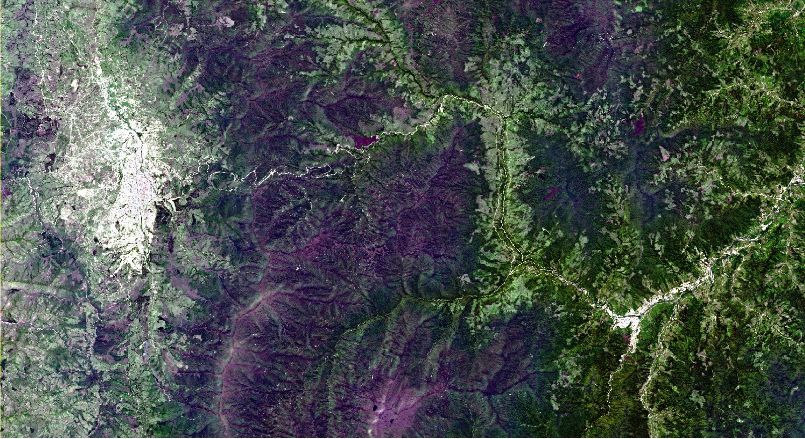
Top-of-the-atmosphere reflectance, haze removal and cloud masking, ground reflectance and at the same time topographic correction are considered as part of the atmospheric corrections. A Digital Elevation Model (DEM), which has to have the same spatial resolution as the uncorrected image, is essently for such corrections.