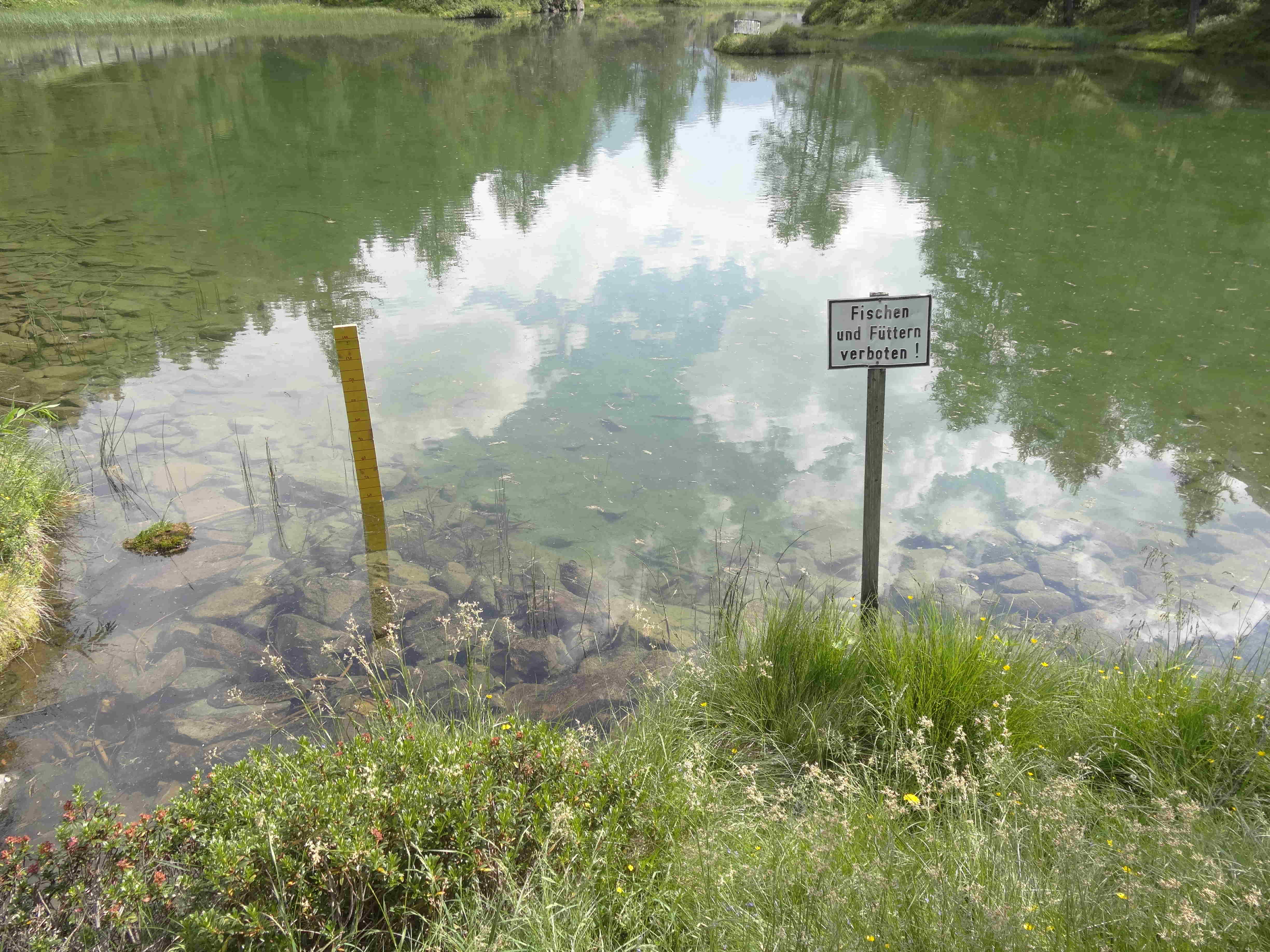
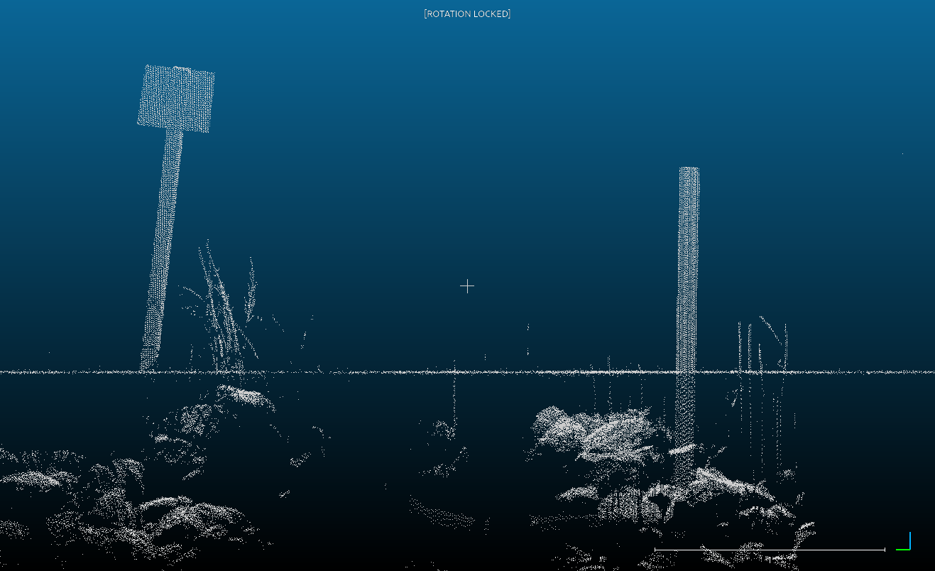
Water depth can be obtained using either airborne or terrestrial LiDAR (Light Detection and Ranging) with a wave length of 532 nanometers (green). Green light is not absorved by water medium and therefor can be used to map bathymetry of lakes. Since light propagates differently in water than in air, the points under the water surface appear shifted and therefore had to be corrected.
This correction is computed with the refractive index, coordinates of origin, incidence angle, and specification of the water lever. First, to calculate the refractive index, the sine of the angle of incidence is divided by the sine of the angle of refraction. Refractive index varies depending on properties of transmission media (e.g., temperature, pH) and wavelength of incoming radiation. For variable temperature and salinity conditions, and for a green laser (532 nm wavelength), the refractive index is n = 1.33538. Second, the coordinates of the laser origin and the incidence angle are obtained from information recorded by mounted DGPS. Third, the Air–Water Interface (AWI) corresponds to the height of the water surface.
Refraction Correction