Hydrographic survey is the science of measurement and description of features which affect maritime navigation, marine construction, dredging, offshore oil exploration/offshore oil drilling and related activities. Strong emphasis is placed on soundings, shorelines, tides, currents, seabed and submerged obstructions that relate to the previously mentioned activities. The term hydrography is used synonymously to describe maritime cartography, which in the final stages of the hydrographic process uses the raw data collected through hydrographic survey into information usable by the end user.
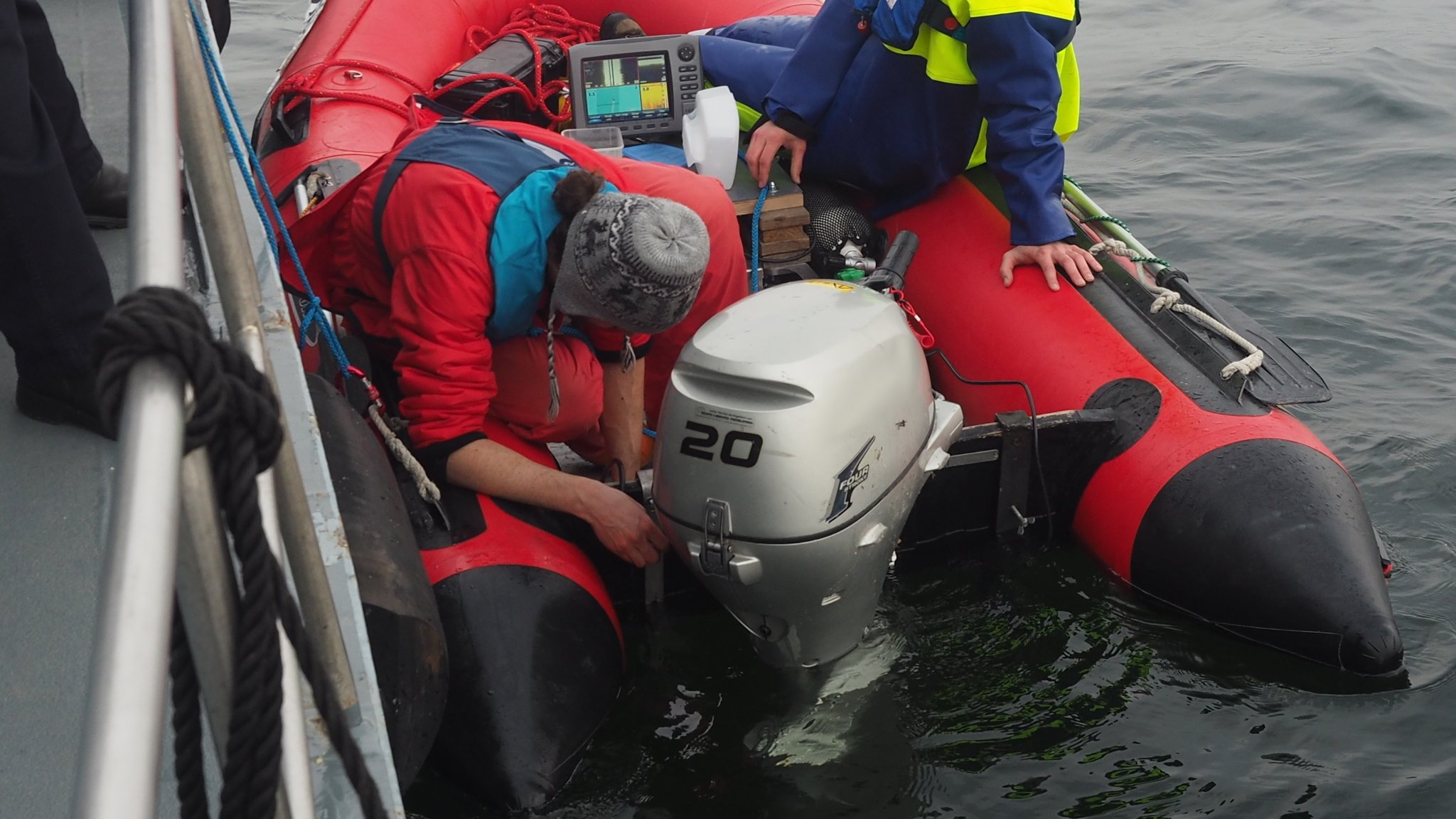
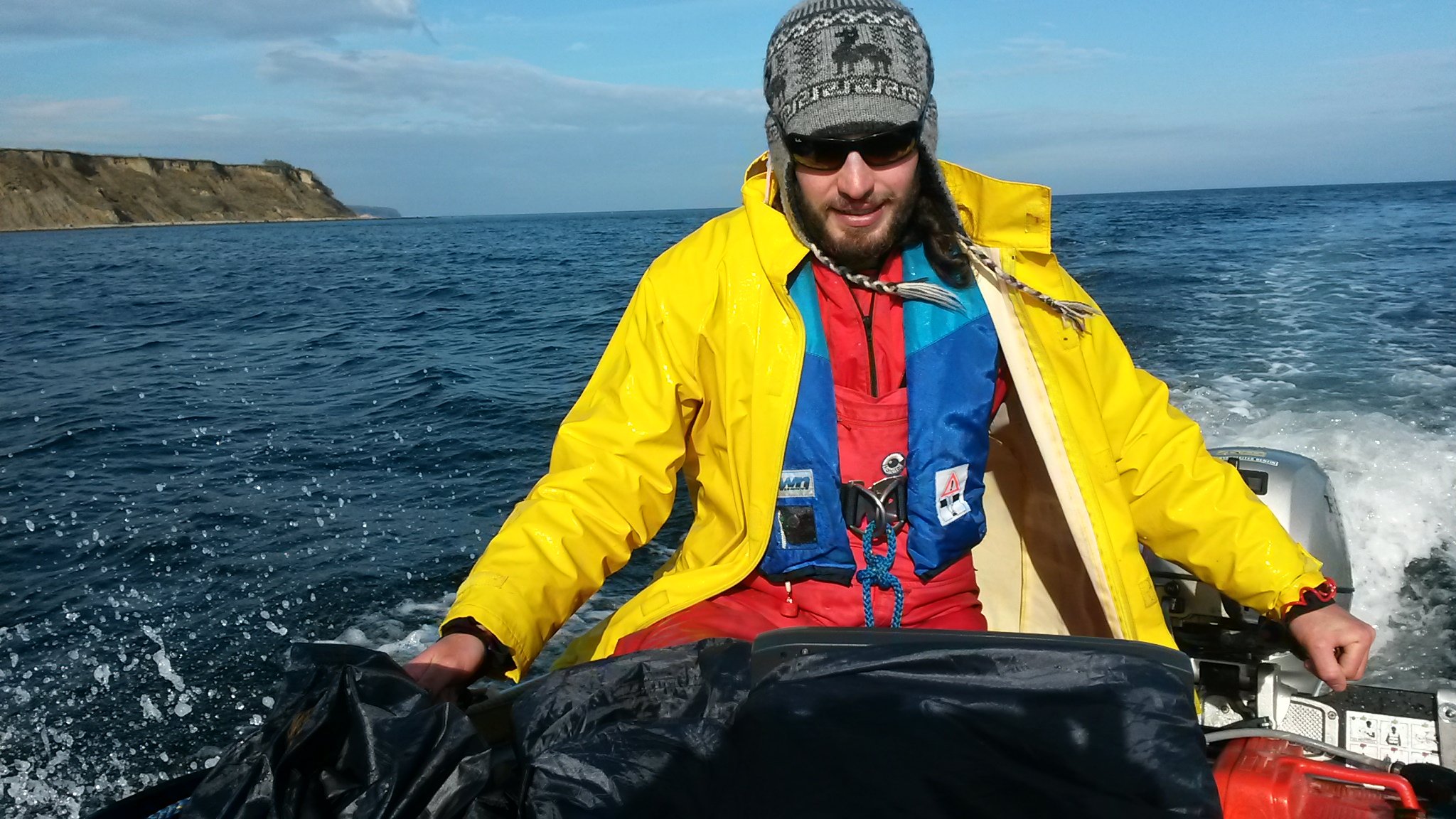
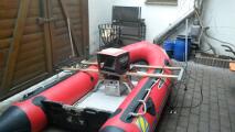
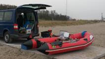
In this project, the Baltic seabed in some specific areas was surveyed. Hydrographic survey was executed with a sidescan and downscan sonar system. About 1368 hectares where surveyed.
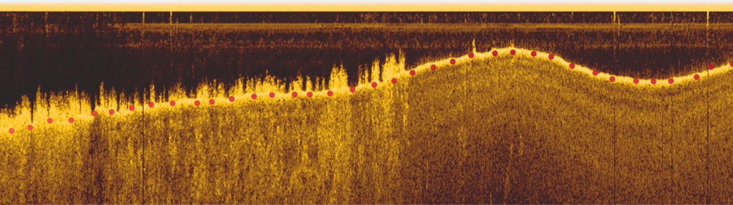
Echogram showing points (red) where depth was measured
The image bellow is a mosaic obtained from the sidescan sensor. It can be clearly seen the different structures (sandy,rocky) of the seabed.