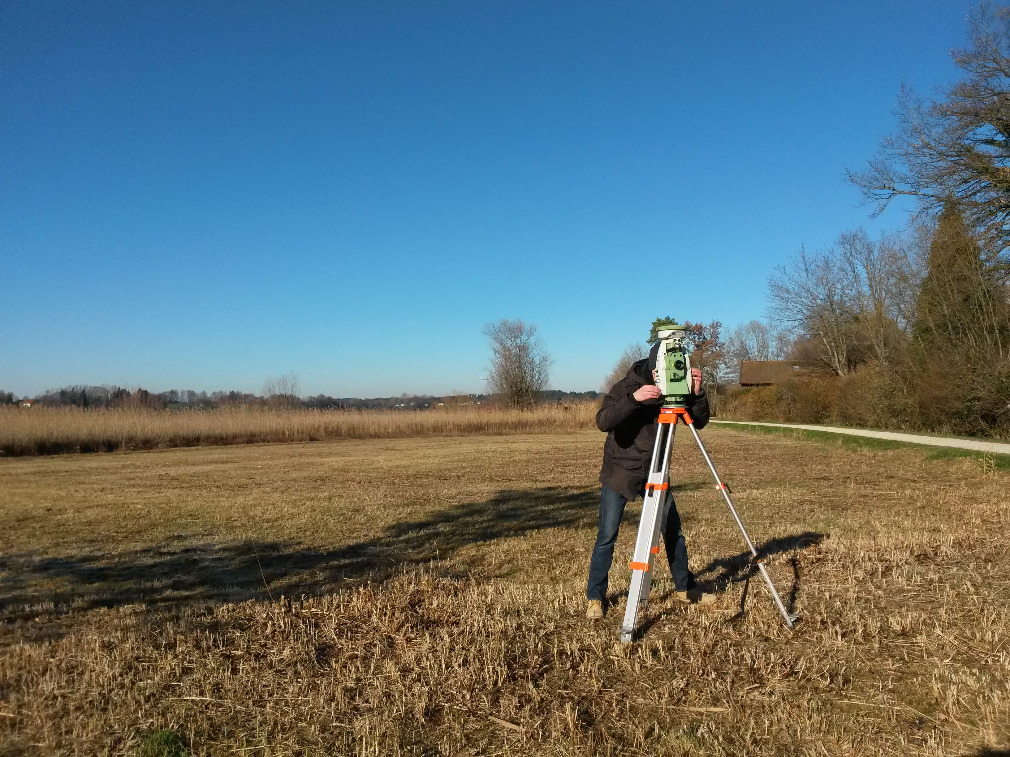

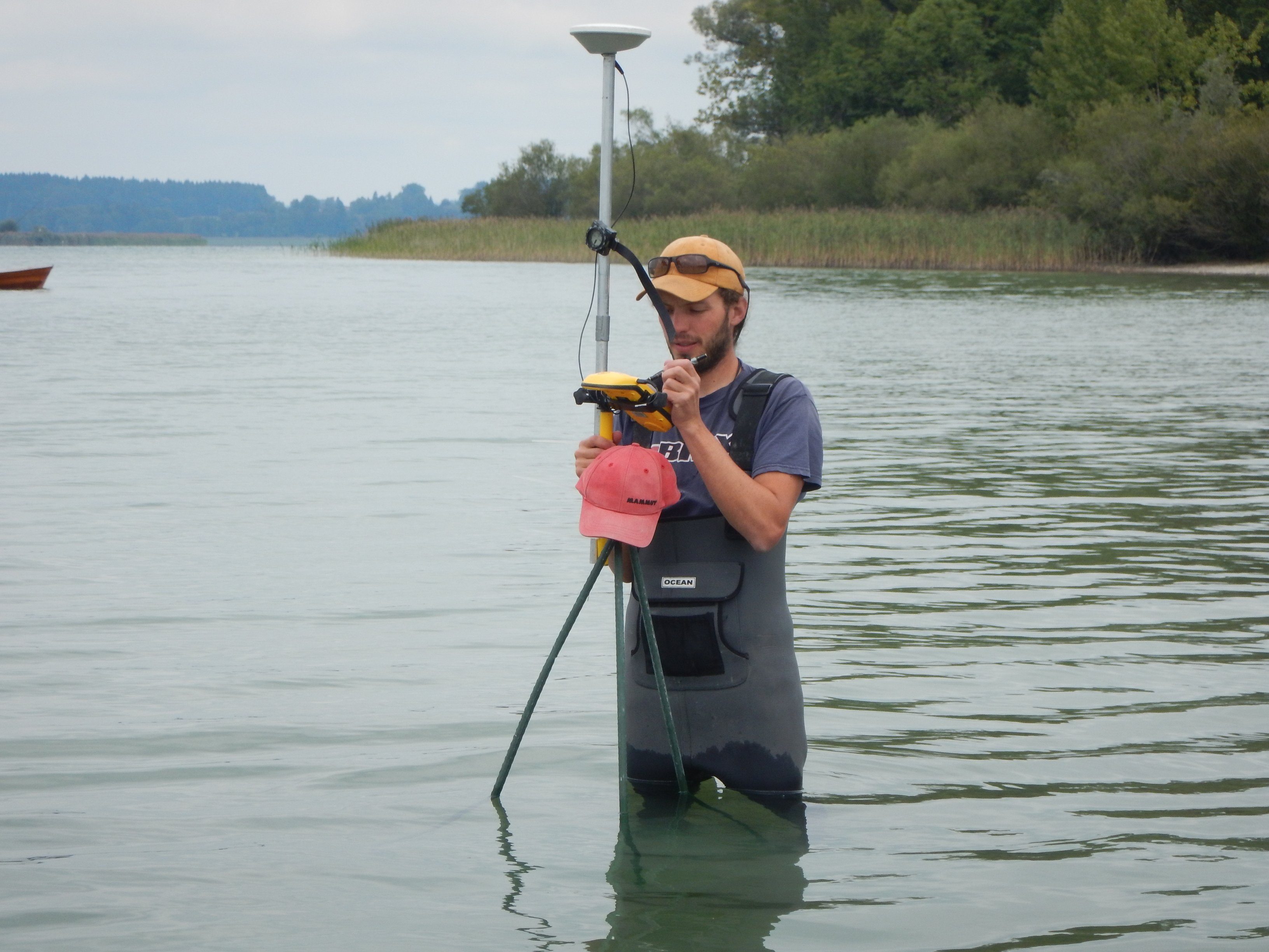


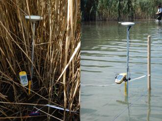
The coordinates of an unknown point relative to a known coordinate can be determined using the total station as long as a direct line of sight can be established between the two points. Angles and distances are measured from the total station to points under survey, and the coordinates (X, Y, and Z or easting, northing and elevation) of surveyed points relative to the total station position are calculated using trigonometry and triangulation. To determine an absolute location a Total Station requires line of sight observations and can be set up over a known point or with line of sight to 2 or more points with known location, called free stationing.